• 2 min read
New AI system maps hidden ocean currents from space
Tel Aviv University researchers built GOFLOW to reconstruct fine-scale ocean currents from satellite images, exposing climate-critical motions below 30 km.
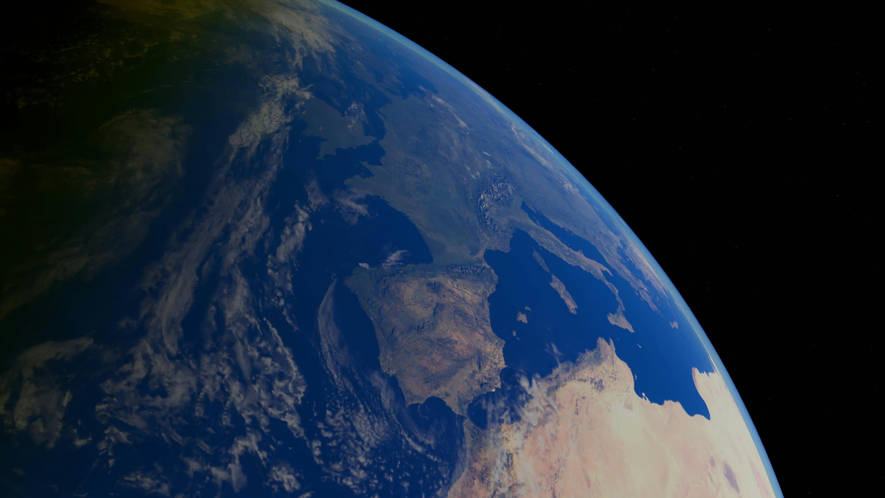
Image: TechXplore
A team led by Tel Aviv University says it has found a new way to see the ocean motions that help shape Earth’s climate. The system, called GOFLOW, uses satellite infrared images of sea surface temperatures to reconstruct high-resolution ocean current patterns that were previously hard to observe directly.
The work was led by Roy Barkan, a professor, physical oceanographer and fluid dynamics expert in Tel Aviv University’s Department of Geophysics at the Faculty of Exact Sciences. The study was conducted with researchers from the Scripps Institution of Oceanography, UCLA, and the University of Rhode Island, and published in Nature Geoscience.
The oceans cover more than 70% of Earth’s surface and act as the planet’s largest climate regulator. But many of the most important processes happen at scales of only a few dozen kilometers or less, putting them beyond the reach of many existing satellite methods.
According to the researchers, GOFLOW was trained on advanced ocean simulations and can detect subtle, complex flow patterns without relying on the simplified physical assumptions used in earlier approaches. Using the system, the team identified highly dynamic features in the Gulf Stream at scales smaller than 30 kilometers (19 miles), including sharp temperature gradients, converging currents, and vertical water movement.
“The ocean is one of the most important components of Earth’s climate system, yet many of the processes that drive it occur on spatial and temporal scales that are extremely difficult to measure directly,” Barkan said. “With GOFLOW, we can now extract dynamic information from satellite observations that were previously inaccessible, revealing mechanisms that govern ocean mixing, heat transport and gas exchange with the atmosphere. As climate change accelerates, being able to observe these fine-scale processes is essential for understanding the much bigger picture.”
The team also says the system provides the first direct satellite-based measurements of horizontal ocean divergence, a key sign of vertical water movement that had previously been estimated mainly through simulations or limited in situ observations.

Recommended reading
Robot labs are training machines on internet video
That matters because ocean mixing affects storm intensity, marine heat waves, pollutant dispersal, and the ocean’s ability to absorb carbon dioxide. The paper is “An unprecedented view of ocean currents from geostationary satellites” by Roy Barkan et al. and Luc Lenain et al., published in Nature Geoscience (2026) with DOI 10.1038/s41561-026-01943-0.

Frontier Editor
Dan is our resident futurist, covering electric mobility, space exploration, and the smart home. He's interested in atoms just as much as bits. Whether it's a new battery chemistry, a reusable rocket, or a protocol that finally makes IoT devices talk to each other, Dan breaks down the engineering that pushes humanity forward.
via TechXplore