• 3 min read
AI lets satellites retask faster for wildfire tracking
West Virginia University engineers built a system that detects wildfires from space and autonomously retasks satellites to keep watching fast-moving blazes.
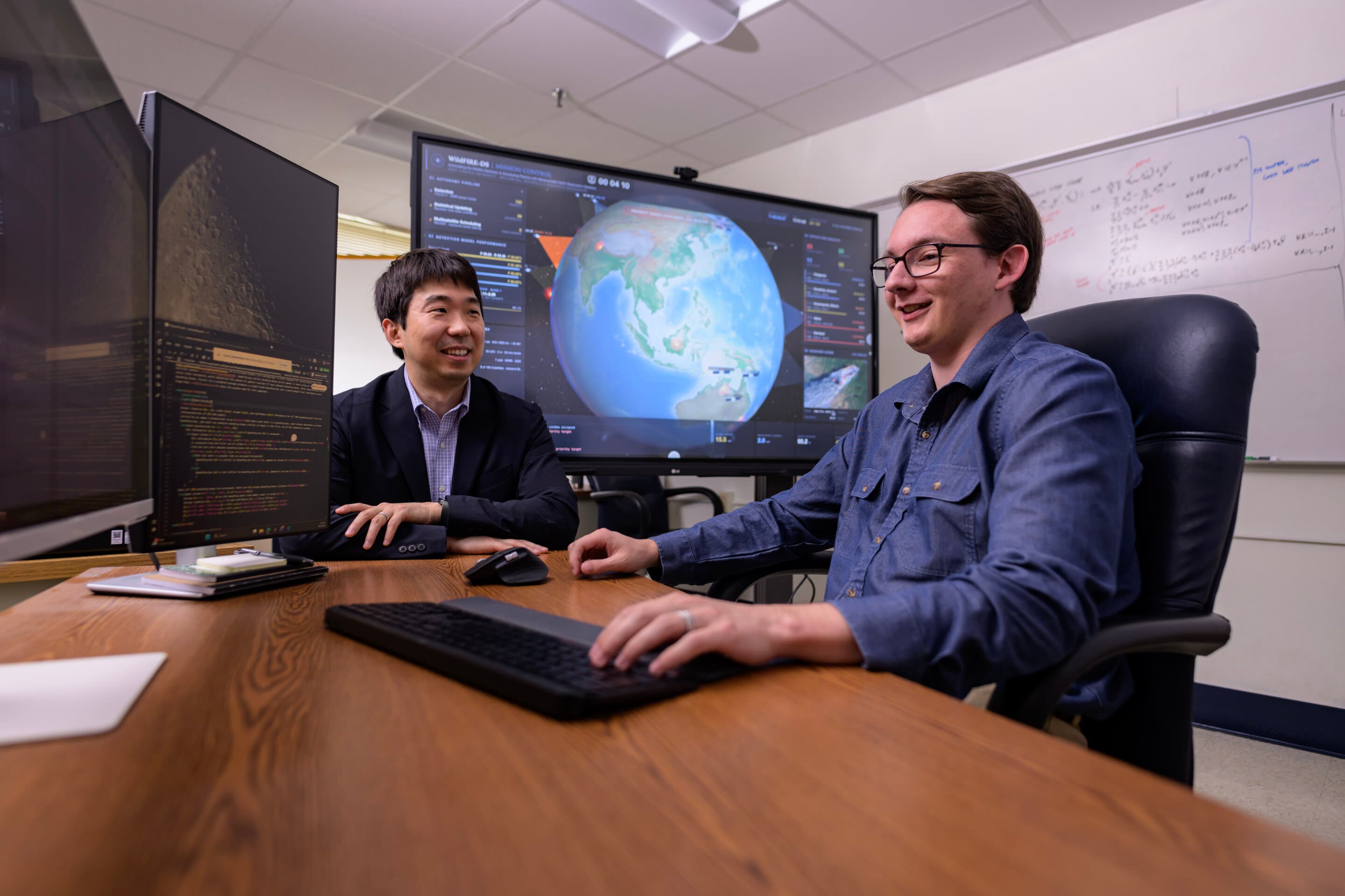
Image: TechXplore
A team at West Virginia University has built an AI-based satellite coordination system designed to spot wildfires sooner and keep satellites focused on fast-moving blazes as they spread. The researchers say the approach could give firefighters more time to respond by letting satellites detect fires, share information, and automatically adjust their observation schedules.
The work comes from Brycen Pearl, Joshua Warner, and Hang Woon Lee. Their framework, called WildFire-applicable Intelligent and Responsive Ensemble for Detection and Scheduling, or WildFIRE-DS, combines wildfire image interpretation with statistical validation, then uses that analysis to autonomously retask and reposition satellites for continued monitoring.
Lee, director of the WVU Space Systems Operations Research Laboratory and assistant professor at the WVU Benjamin M. Statler College of Engineering and Mineral Resources, noted that wildfires can move at 15–20 mph (24–32 km/h) and major fires can spread across hundreds of thousands of acres. That speed, combined with difficult terrain and dense vegetation, makes fires hard to contain and even harder to track.
How WildFIRE-DS changes satellite monitoring
Unlike drones or ground sensors, satellites can cover huge parts of the planet without local infrastructure or routine maintenance. Pearl said wildfire behavior is shaped by many interacting variables, especially wind, which can become highly unpredictable in places like canyons or in large fires hot enough to alter the atmosphere above them.
Recommended reading
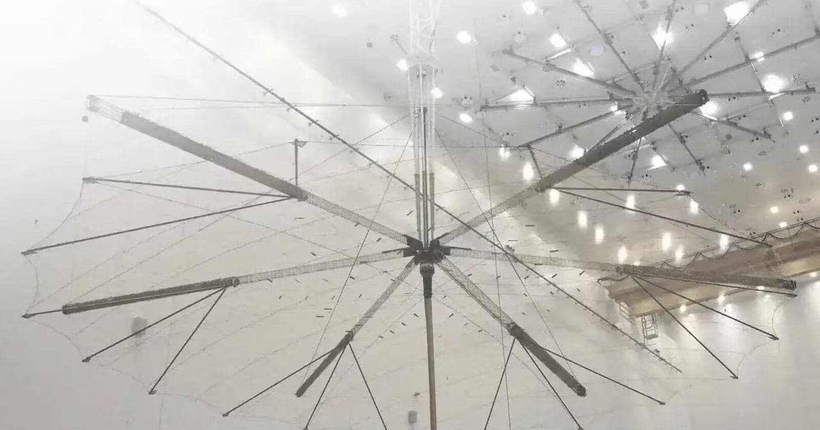
Reshetnev Unveils 12-Meter Folding Satellite Reflector
According to the team, existing and planned wildfire constellations such as Earth Fire Alliance’s FireSat and the OroraTech Wildfire Constellation are expected to use AI to interpret imagery and confirm whether a wildfire is present. Pearl said those constellations are planned to include 50 to 100 satellites with enough resolution to detect fires as small as cars.
What WildFIRE-DS adds is autonomous scheduling. Instead of keeping satellites locked into their original positions, the system can move them to improve views of newly detected fires and revisit critical locations more quickly.
Warner said speed is essential because a small ignition can grow to hundreds of acres in under an hour. He pointed to the 2025 Palisades fire, which burned 23,448 acres (37 square miles) in California, killed 12 people, destroyed 6,837 structures, and caused more than $25 billion in damage.
The researchers say systems such as the ALERTCalifornia AI Camera Network, which links more than 1,200 high-definition near-infrared cameras for 24-hour backcountry monitoring, show how earlier detection can save time. Their goal is to extend that idea into orbit.
The algorithm, developed with support from the NASA West Virginia Established Program to Stimulate Competitive Research, is described in the Journal of Aerospace Information Systems in a paper titled “Automating the Wildfire Detection and Scheduling Pipeline with Maneuverable Earth Observation Satellites”. The paper is credited to Brycen D. Pearl et al. with DOI 10.2514/1.i011883.

Frontier Editor
Dan is our resident futurist, covering electric mobility, space exploration, and the smart home. He's interested in atoms just as much as bits. Whether it's a new battery chemistry, a reusable rocket, or a protocol that finally makes IoT devices talk to each other, Dan breaks down the engineering that pushes humanity forward.
via TechXplore